And all of them were down…
Hiking the Grand Canyon, particularly the hike to the Colorado River and the inner gorge, requires that a person have a compelling desire to go down there. Without a strong motivation, the pain may not be worth the trip.
The trouble is that it is easy to go downhill quite a ways before the realization sets in that you will have to go back up. All the literature tells you that you should allow twice as much time going up as you took to go down. This surprises many people.
On this hike I was highly motivated, even in the face of probable pain. I knew that I was committed to going all the way down to Phantom Ranch, no matter how I felt. However, before we reached the halfway point descending the South Kaibab Trail, I was feeling pain in my right knee and trying to step in a certain manner to avoid aggravating it. Stepping that way began to cause a clicking in my left hip that didn’t feel right either. At each step I had to decide whether to feel the pain in my knee or start a new problem in my hip, so I alternated, hoping to keep them both happy.
As the descent continued I also noticed my toes would occasionally hit the end of the toe box of my boot. They started getting sore too. Knee jarring, toe jamming, never ending, downward stepping trail (but the views were awesome).

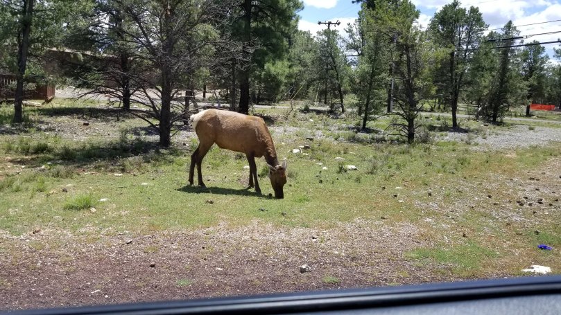
Lest you think that I was the weak link in our little group of ten hikers, I need to mention that we had three men who were in their seventies. One, Bob was his name, was 78! Bob actually fell and twisted his knee, making it necessary for him to put on a brace. He was getting weak and wobbly as well. We were sometimes hiking in the sun now, and the temperature was going up a few degrees for every thousand feet we descended. Every time I looked at Bob I was afraid he was going to fall off the edge. He was going very slowly and one of the guides stayed with him while the rest of us forged on.
The trip down started at 7:30 a.m. and we didn’t reach the Bright Angel Campground until 3:30 p.m. This was nearly twice the estimated time! We were all ready to stop walking. Unfortunately, we still had to go up to the canteen at the Ranch, another quarter mile away, and get our duffels that had come down by mule. Fortunately we had just enough time to get there before the canteen closed to prepare for the dinner hour. The canteen is famous for reviving tired hikers with their lemonade. I had two large glasses.
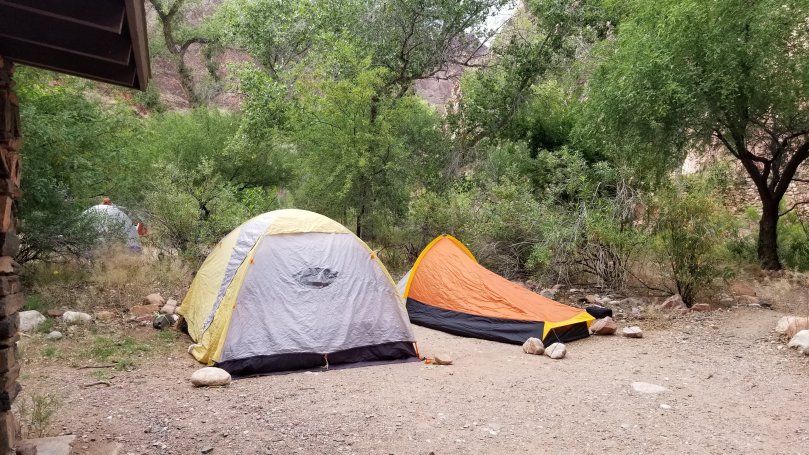
Even in my debilitated state, I managed to set up my tent, eat dinner and go to a “ranger talk” that night. One of my big toes was turning dark, my legs ached, but I crawled into my sleeping bag grateful for the chance to be horizontal, for a change. I had been told to bring ear plugs so the snoring of other campers wouldn’t keep me awake. That turned out to not be a problem – the creek was swollen, running fast and full and so loud that it made a superb, natural, white noise machine. I slept.
To be continued…