Me-Kwa-Mooks Park: West Seattle

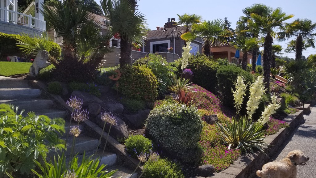
It was the last day of my visit to Seattle. Younger daughter and I were walking down Beach Drive SW, on our daily exercise walk, looking for something interesting to see or do. She mentioned a park that we would soon be walking past that had some very nice features, and more of an old growth, untouched atmosphere. We decided to venture into Me-Kwa-Mooks Park.

This saying is credited to Chief Sealth, sometimes called Chief Seattle, for whom the city of Seattle is named. The Duwamish people were the original inhabitants of the park.

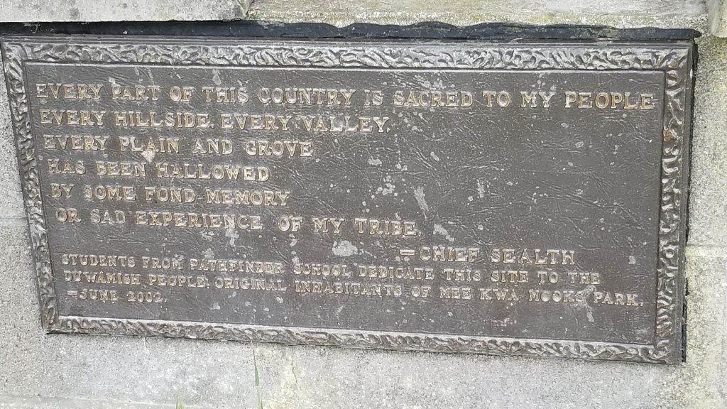
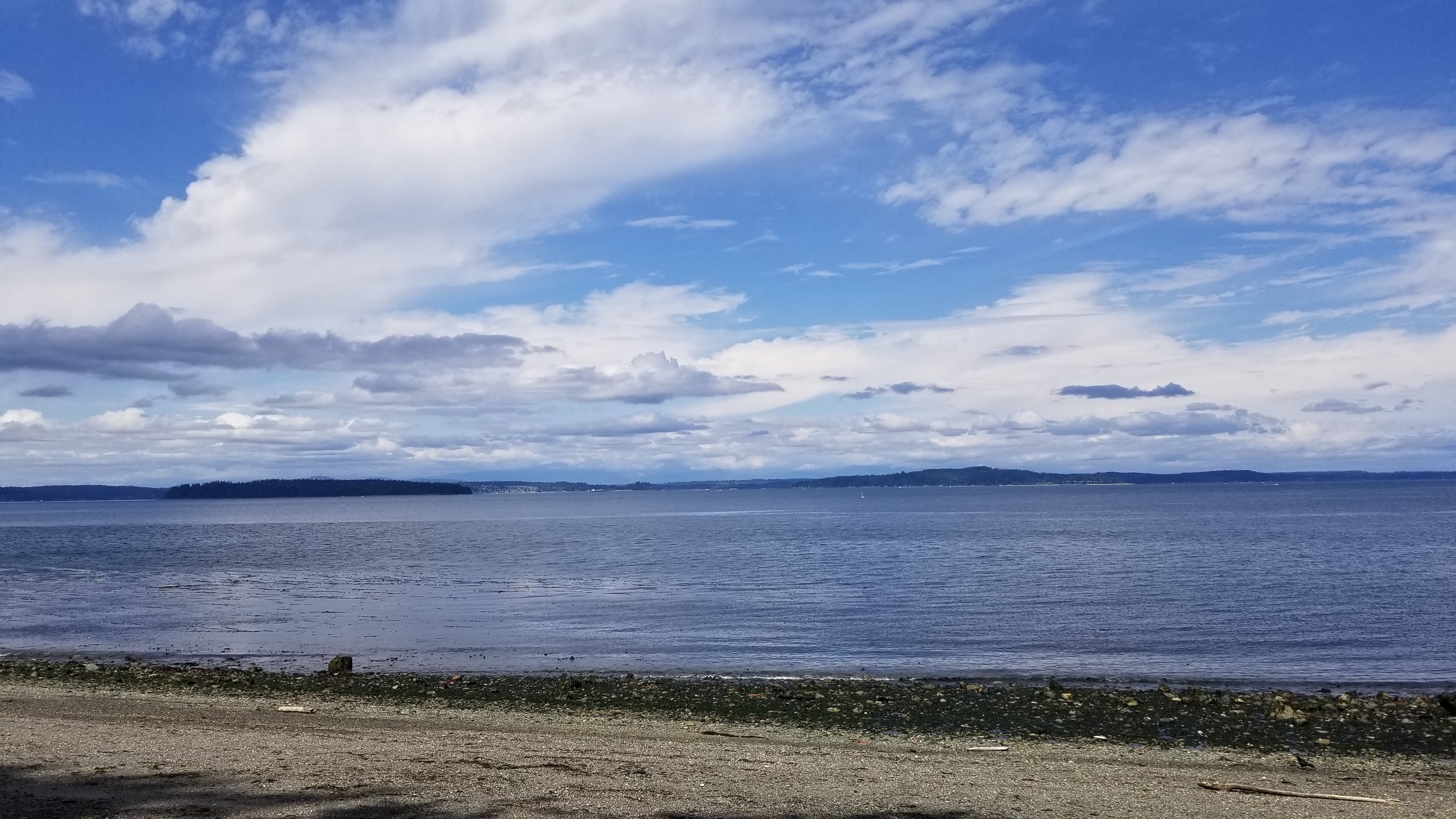
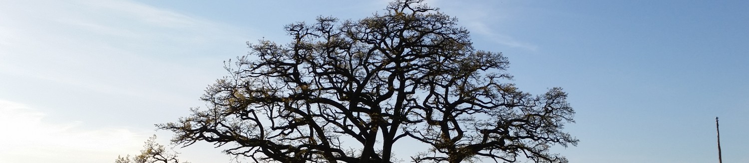
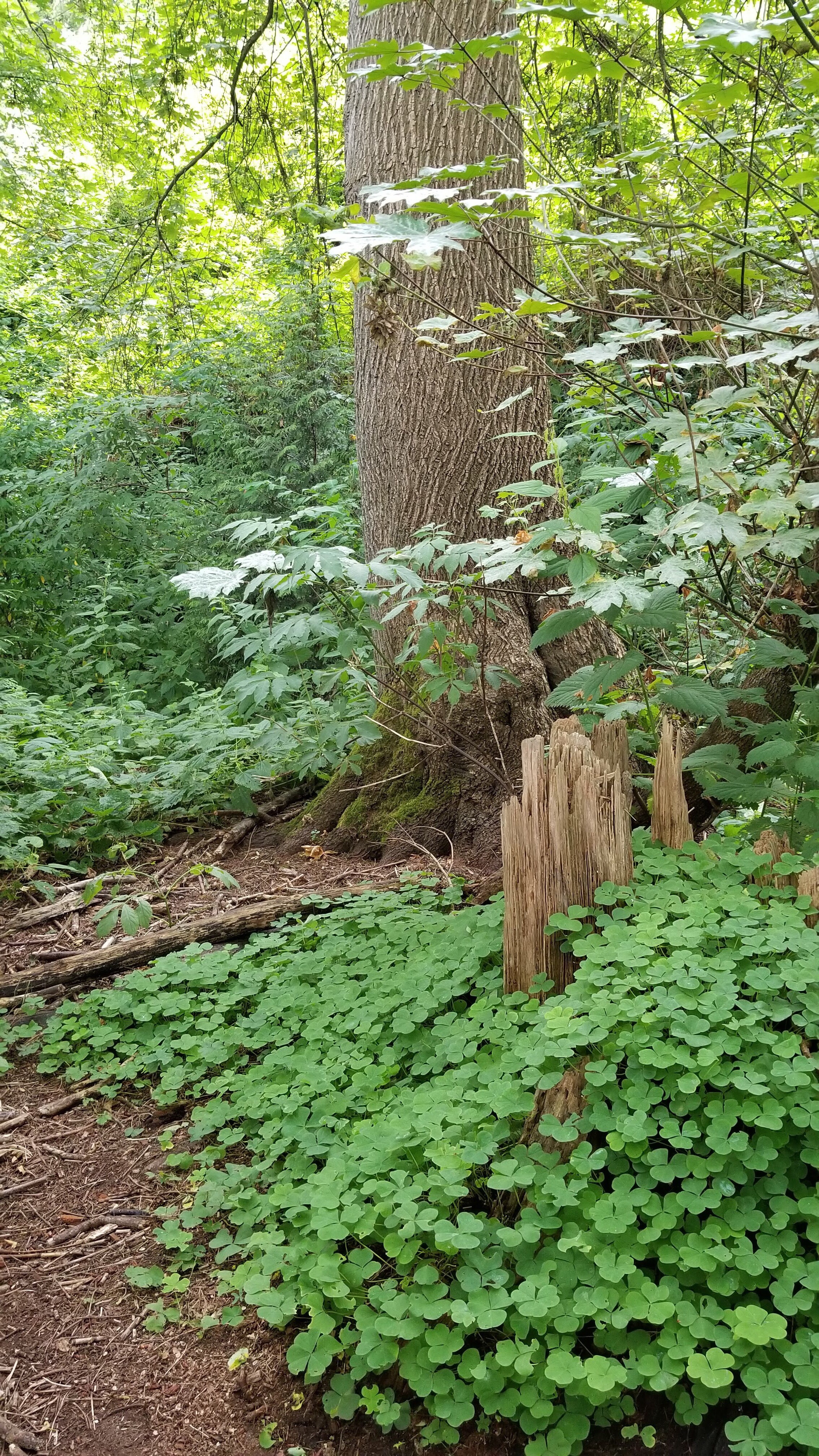
Me-Kwa-Mooks is an Indian name meaning “shaped like a bear’s head”. If you use your imagination, you might say that about the West Seattle peninsula, especially if you had a map or a good aerial view. The entrance to the park is on the east side of Beach Drive in a small clearing with several picnic tables. The trailhead is identified by a sign and several plaques that are covered with brush and barely legible. Like most other parts of West Seattle coastline, this park is located on uphill slopes that end with a rather steep climb up a bluff. It’s about 20 acres of heavily wooded, undeveloped land.

The trail is narrow and you have to hunt for it.

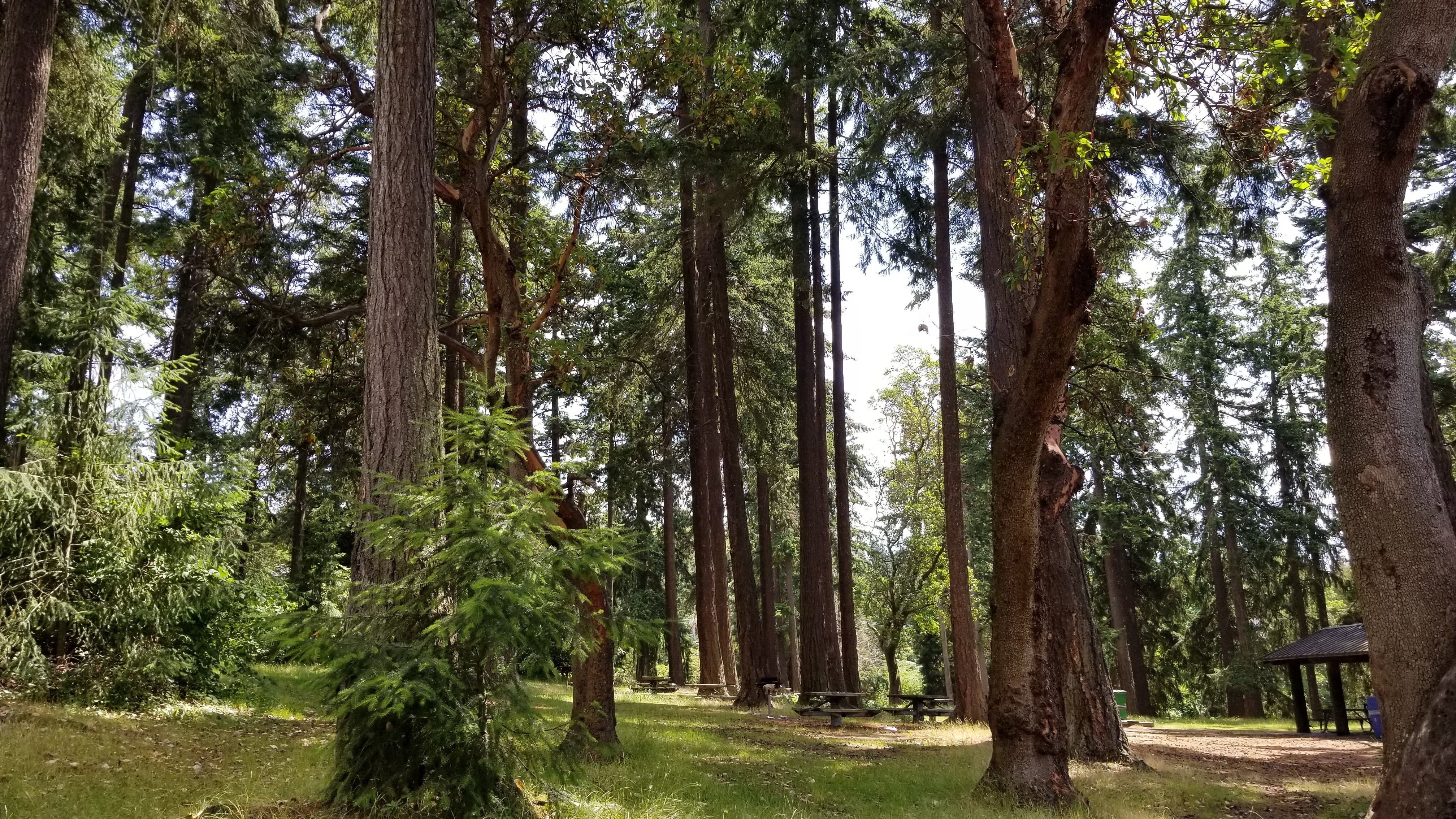
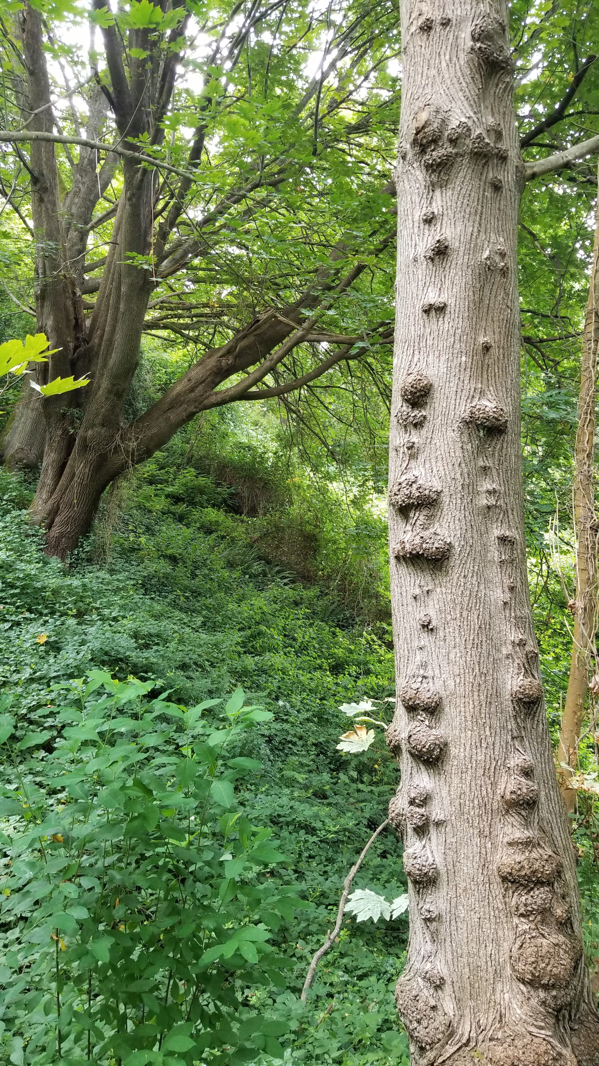
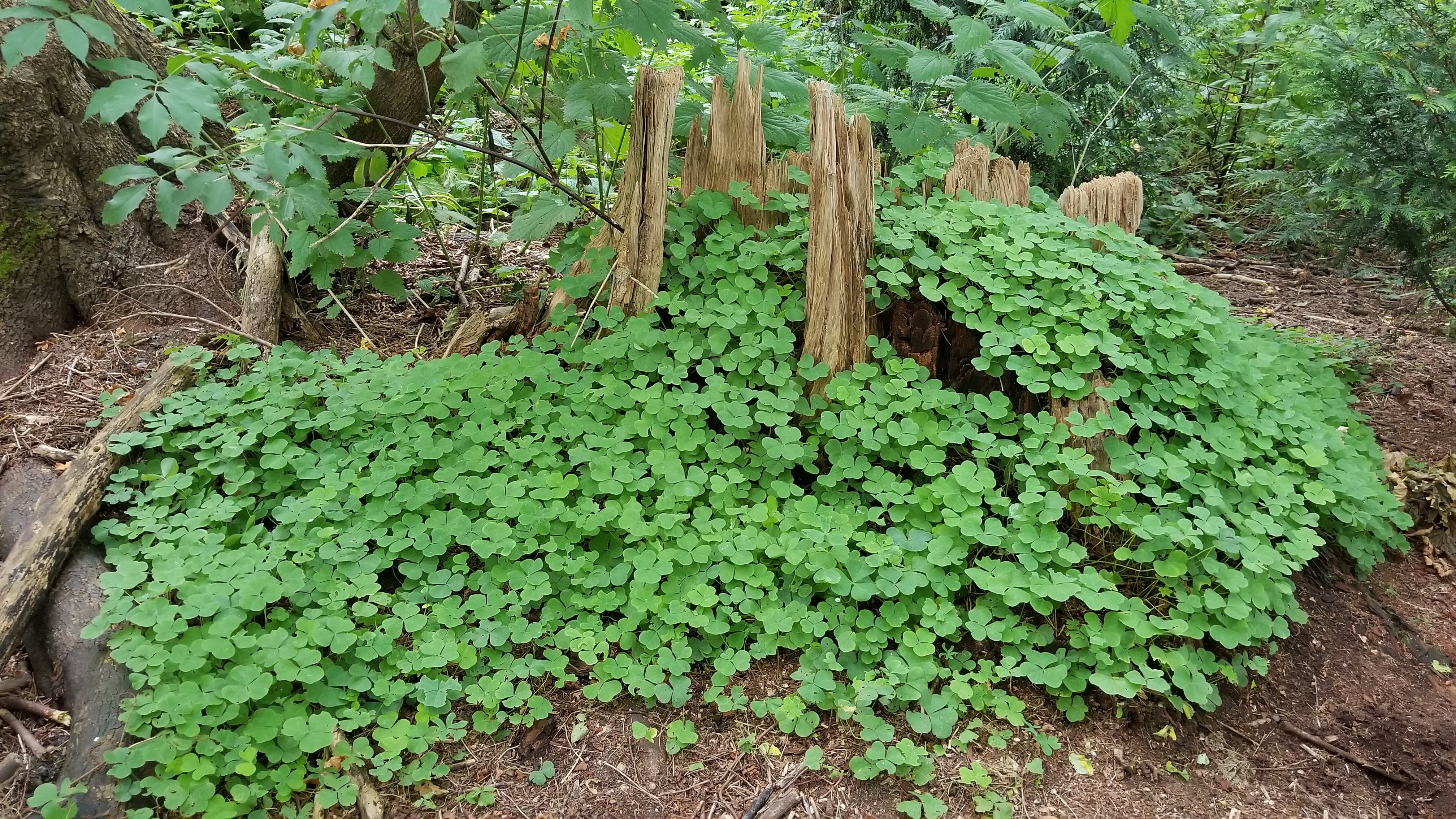
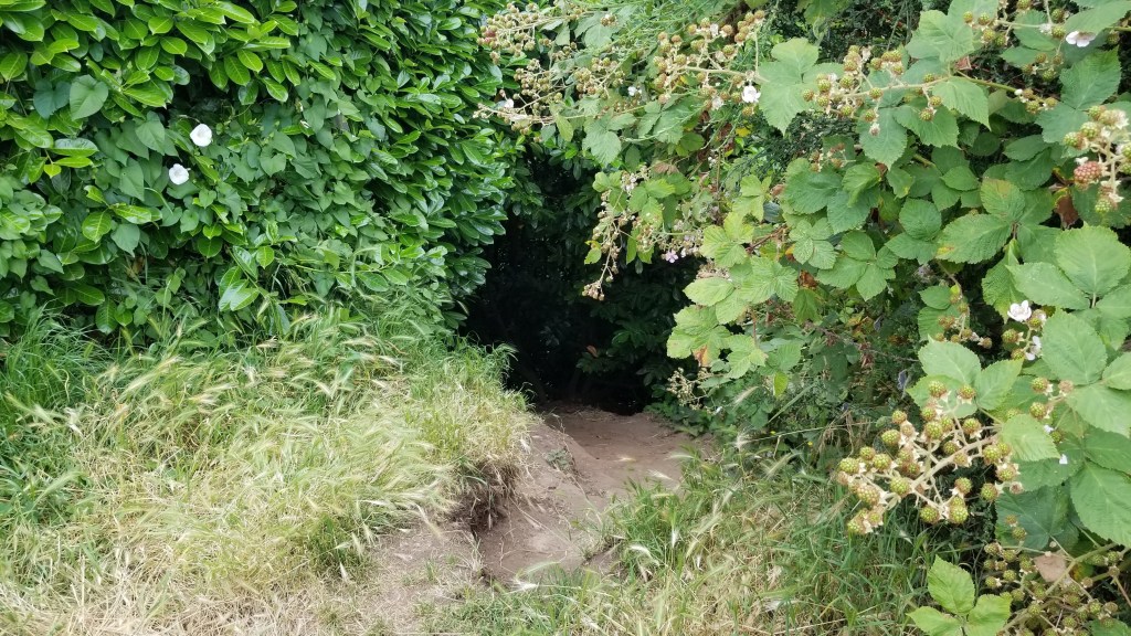
Undeveloped, perhaps, but there are trails and some evidence of work having been done on them. Someone had been pulling out piles of English ivy, an invasive plant, and there was an irrigation line visible along the path in places. But there was no signage, and some of the trails ended abruptly. Having been there before, younger daughter knew one trail led to another entrance farther down on Beach Drive. She also knew that there was a trail that led to the top of the bluff. That was the one we wanted.

This was a path that suddenly didn’t go anywhere.

The trail to the top, naturally, was the trail that kept going up in switchbacks, becoming steeper and less easily navigated. It eventually went straight up, a dirt path with no natural hand holds or places for feet to rest. But, lo, there was a hose – the flat, cloth covered kind – and it came from somewhere up above and held our weight, so we grabbed it and climbed. And just when the hose no longer followed the path, we saw a rope that finally helped us to the top.

Don’t know why this hose was there but it came in handy…
We could have used a longer rope.
This was our exit point. Wouldn’t your inner child just love to have a creepy hole like this to dive into?

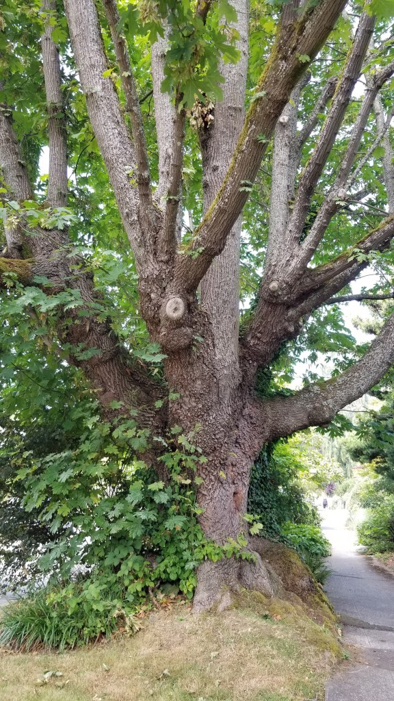
The Wikipedia article about the park states that in 1994 a bunch of 4th and 5th graders from a local school helped make the park. That’s exactly the feel I got from our experience. It was a mythical, magical forest, perfect place for tree forts, treacherous paths, and dangling ropes leading to “who knows where”, a kid’s dream playground.

We made it to the top, mostly because there was no way we were going back down some of the places we had been. It was clearly not everyone’s “walk in the park” and I was a little surprised that it was accessible in this day of lawsuits and litigation. Risk was involved. We had fun, but I’m thinking most people take the other path. Just sayin’…

A Pretty, Long Walk – West Seattle

We didn’t walk very far on Sunday, but we made up for it today. We took Charlie with us. He is a curly haired Wheaton terrier who generally likes to go out for exercise.

Meet Charlie. Also notice the beautiful flowers.

The first hour was a city walk, past houses that face out to Puget Sound. As you might expect, they were on the expensive and extravagant side, but so interesting to look at. Built on the bluff with creative driveways and staircases, and landscaping that had me taking pictures every few minutes. We walked south from Alki and ended up at Lincoln Park. For us it was around 10,000 steps, for Charlie it was considerably more and he was thirsty. We were looking for a water bowl, which can commonly be found around fountains, since so many people are walking their dogs. Charlie found one.

Small gardens with joyous profusion
Gardens that probably have professional caretakers
Sidewalk gardens, purple lavender abounds…
Gardens with random wildflowers

Next we headed east through the park in the direction of California Avenue. It is the main business street that runs down the middle of the West Seattle peninsula. Our only stop was to buy water at a gas station, again sharing with Charlie who was beginning to act a bit tired. Our walk north toward home ended up going through Schmitz Park. It was like entering a different world.

I’ve written something about Schmitz Park every time I’ve visited Esther in Seattle because it has an access right behind her house. I ALWAYS visit this park. I’ve not been anyplace like it and consider it a magical, singular experience. It’s an old growth forest with trails following a large ravine from the top of the bluff, down to lower elevations near Alki and the beach. The trails are not fancy, not paved. There are no signs directing where to go. No railings on the steep portions. Click this link for more visuals of Schmitz Park.

The Hidden Forest

The forest and the ravine insulated us from the noise and heat from the city street. It was shady and dark, with the sounds of water flowing into the central stream. Many parts of the path were wet with cool mud and took some navigating. It must have felt good on Charlie’s paws. And 20 minutes later we were home, having done nearly 20,000 steps total. A good walk, I’d say.

Home again to Esther’s daisy garden

Walking on the 4th of July – Seattle

More important than what I saw, was the reality of seeing it with other people. We saw this together, and it was part of our relationship building. I love doing things with Esther and Ryan, on their home turf. We are blessed that we all love to walk, and can still do it.

West Seattle is its own little world, a peninsula really, with Elliot Bay on the west and north sides connecting with the Duwamish River on the east. At the coastline there is a highway around the peninsula, on the level with the beaches. This level holds only the highway and beach sidewalks on one side and a row of high rise buildings and homes on the other side. Behind the row of homes is a steep, tree covered bluff. There are homes built into the bluff and some very steep streets giving access to them. Then there is the top level of the peninsula that is high, with magnificent views in all directions. The main part of the town is on the top level and has some very exclusive residential areas.

Today we walked on the beach level around the west and north sides of West Seattle and then climbed up the bluff on a street called Fairmount. The Pacific Northwest rain forest vibe was strong on this upward climb. I was puffing my way up and using the excuse of taking pictures to rest and catch my breath.

Once on the top level we needed nourishment and stopped in for frozen yogurt. Once the brain freeze was wearing off we walked through some of the residential areas to catch views of the beautiful private gardens and Puget Sound. Here is a small part of our 15,000 steps.

The tide was out, exposing a lot of beach. Lots of people were out there looking for ? Ryan said the clam season had started, or maybe they were just looking for beach glass, or taking in that view.
Historic building at risk as high rise condos surround it. Can you imagine laying all those small stones? The door is only a paper picture – I’m not sure what the intent was.
Our climb up the bluff took us under a main road. I always find it a little scary to see understructure and realize how much we depend on it (and how seldom we think about it).
We earned our treat, and after all, it was a holiday.
Homes on the top of the bluff have views like this. Blackberries and blue sky…
Can you imagine having a redwood (I think that’s what it was) in your front yard?
We also found a “hobbit” tree with a secret door.