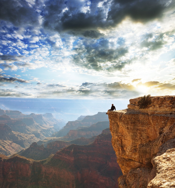
I’ve mentioned already that this hike, sponsored by the Grand Canyon Association Field Institute, is titled “Take a Load Off: Mule Assisted Camping 0514”. My brother was being thoughtful of me and his wife, thinking that we would be better off having assistance from some friendly mules. The mules have agreed to carry a duffel bag for each of us which will lighten our load considerably.
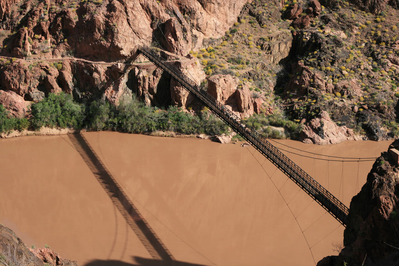
On our first day we will meet at about 10 am to have our equipment checked over by our guide, and then our tenting equipment, some of our food and clothing – basically anything we don’t need on the descent – will be packed in the bag allowed us. I think our mule train will start that afternoon. I’m guessing they will go down the Bright Angel Trail, cross the Colorado on the Black Bridge and stay the night at Phantom Ranch (see this pic of mules crossing scary bridge). Almost everything that goes to Phantom Ranch goes by mule, including supplies for the canteen meals and goods sold in the store. Duffel transport is a common expense for hikers, especially ones going up who don’t want all that stuff on their own backs.

A lot of people ride the mules to Phantom Ranch too but the park video says the people getting off the mules are just as tired and sore as the ones who hiked the trail. Excuse me for laughing, haha. When you don’t ride for hours at a time as a regular thing, that is exactly what happens.
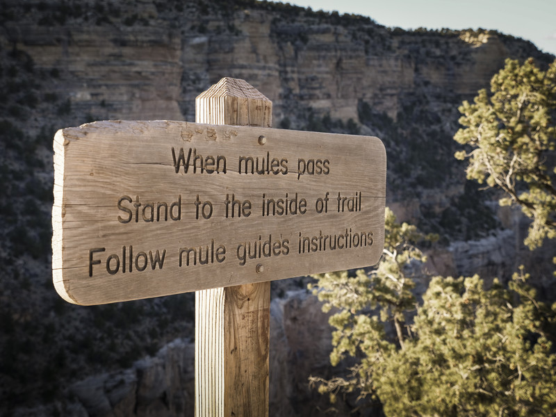
Our hike guidelines give specific instructions to hikers who might happen to meet a mule train on the trail. We are to back up against the uphill side of the trail and wait quietly until the last mule has passed and is at least 50 feet away. Although the mules are well trained and mostly stick to business, if they are harassed or startled it can result in an accident. It is a real shame when a mule is lost off the trail, as you can imagine. And worse yet if a hiker falls, which is why we are given the uphill side. Lucky us.
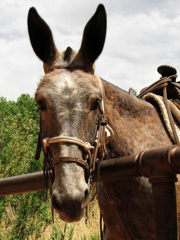
Mules have a real history in the Canyon. An old children’s book which I read to my children years ago was “Brighty of the Grand Canyon”. It was kind of a history lesson of the prospecting days, when miners traveled the canyon looking for gold, with a mule carrying their provisions. Brighty, the mule, is the star of the book – kind of the Black Beauty of the mule world. A great book about the canyon, and not just for kids. I loved it. Earlier this month a reader reminded me of this story that she had also read and loved. I’m not sure but I think Brighty might have been a burro (small donkey), which is different from a mule, but close enough for these purposes.
The little corral at Phantom Ranch looks just the same as it did when first constructed in the 1920’s. I’m hoping to hang out there a little and talk to some of the handlers because I’m curious about where the mules come from and how they are trained. I know they are very reliable and sure footed, which makes them a good fit for terrain in the canyon.