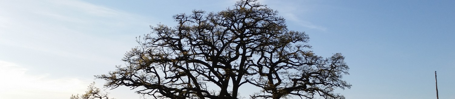
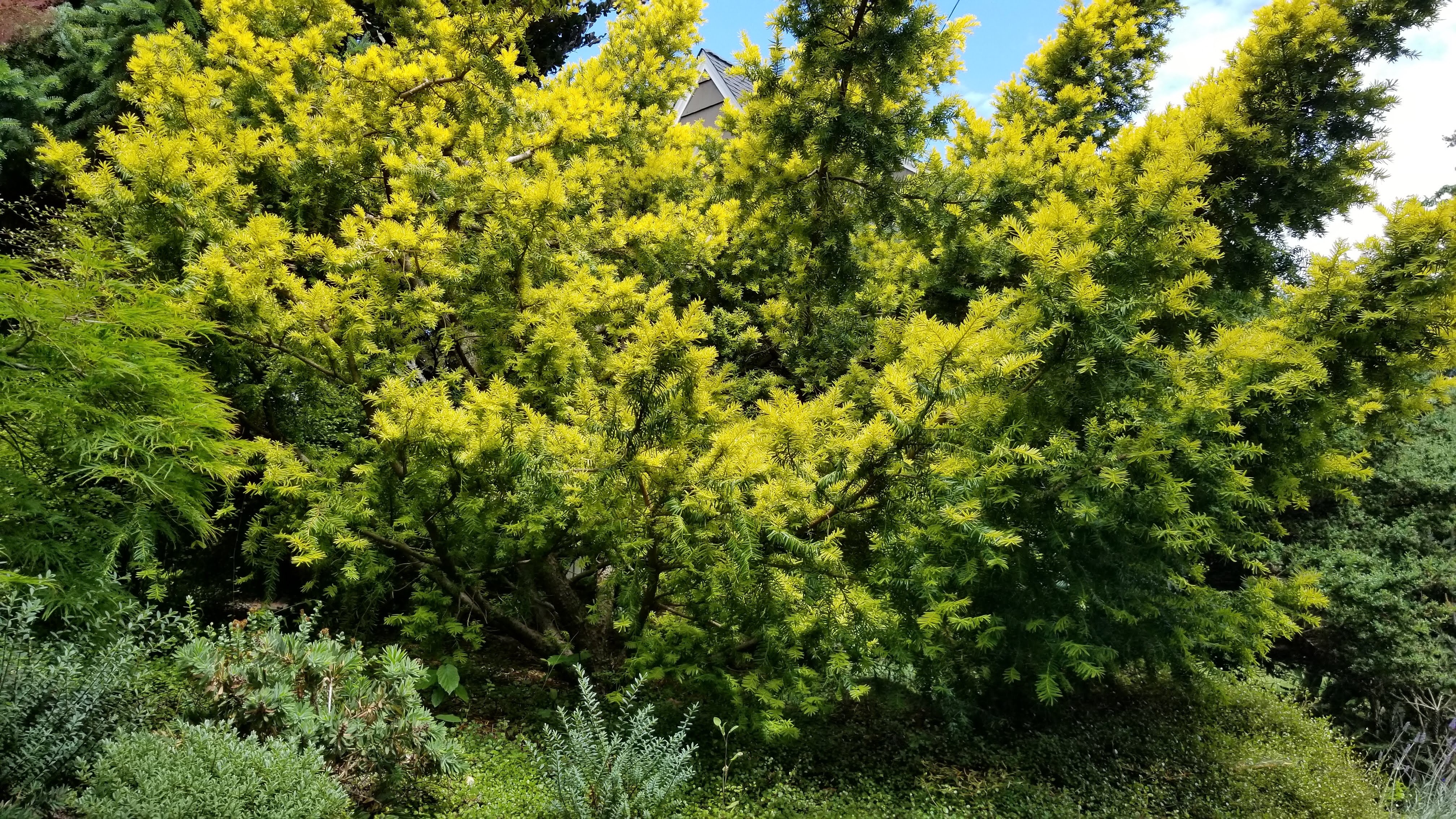
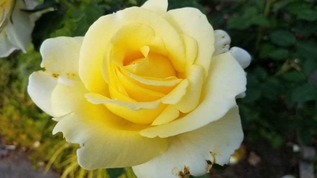
We had a good two night stay at Pine Grove Resort in Ephraim. After breakfast, we packed up and left for the other side of the peninsula. This morning’s hike was in Newport Bay State Park on the Lynd Point Trail. On the way there were many nice farms, orchards and vineyards. The cherry trees were in bloom, as we had hoped.

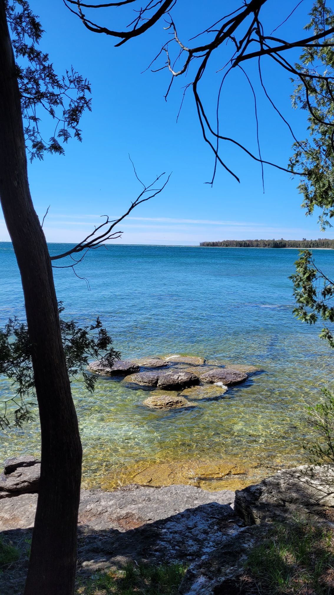
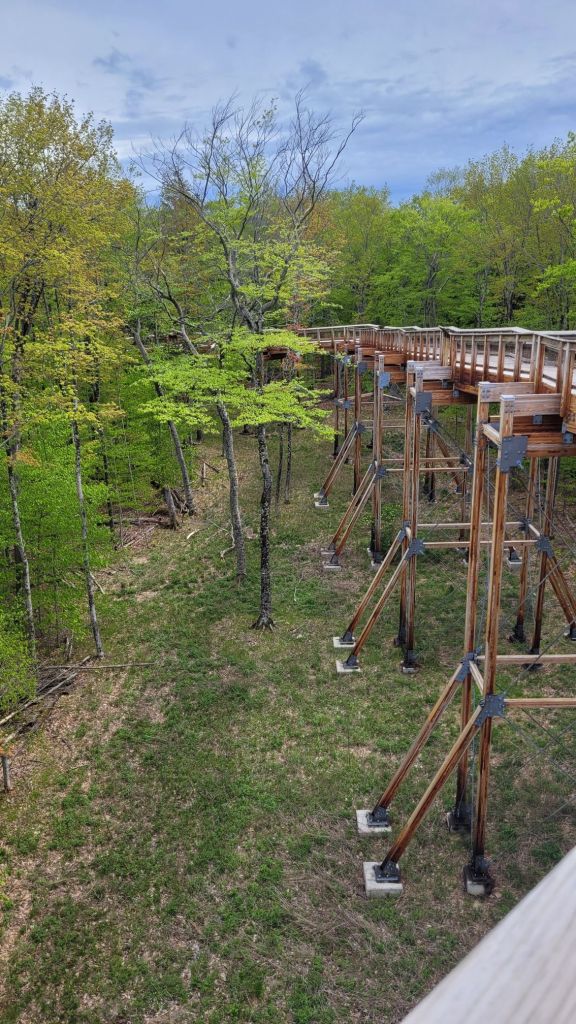
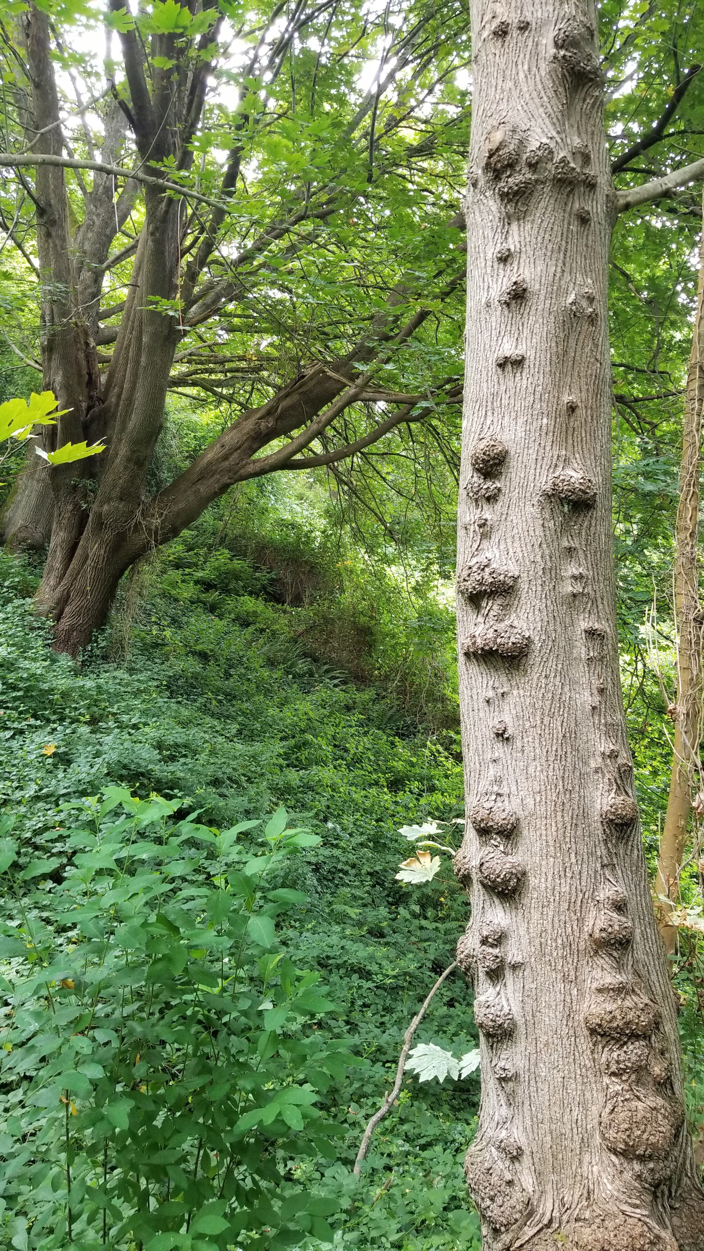
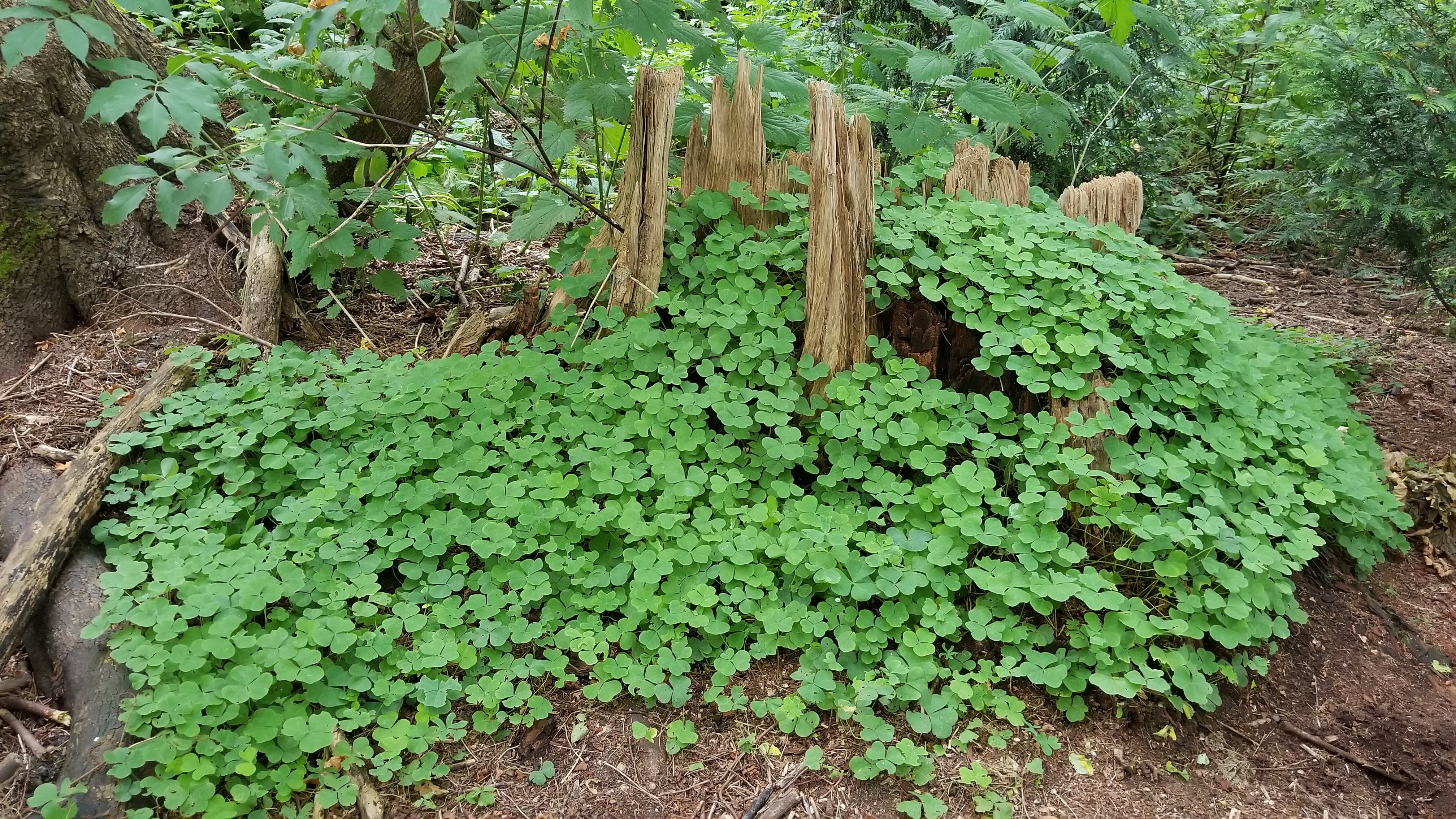
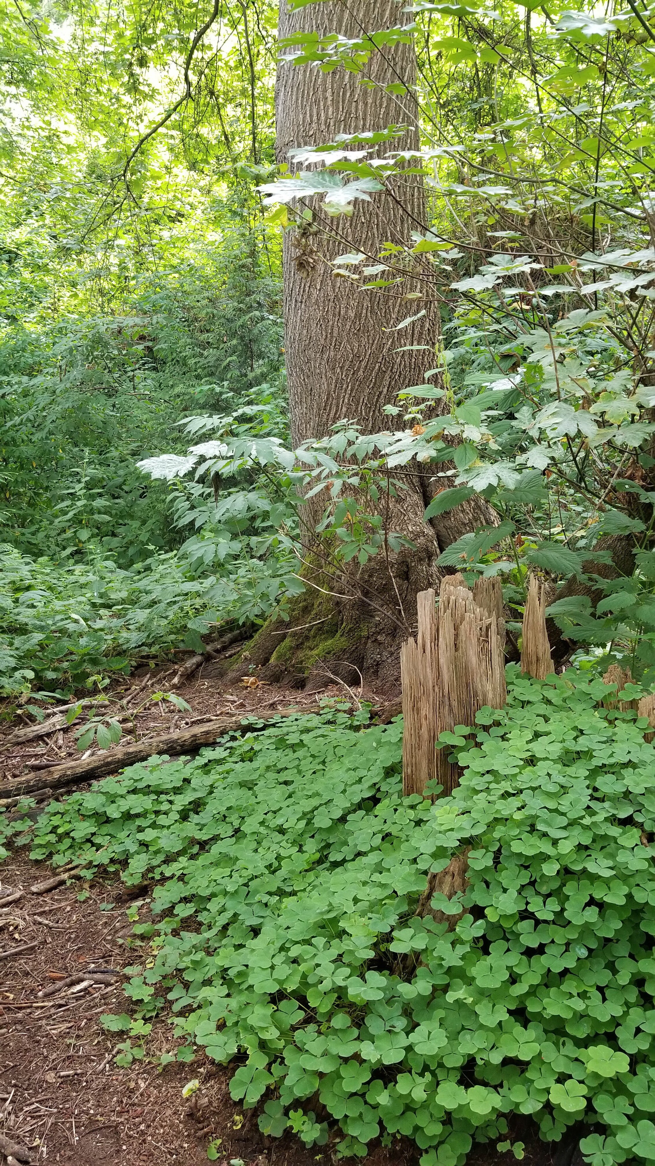
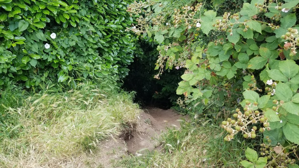
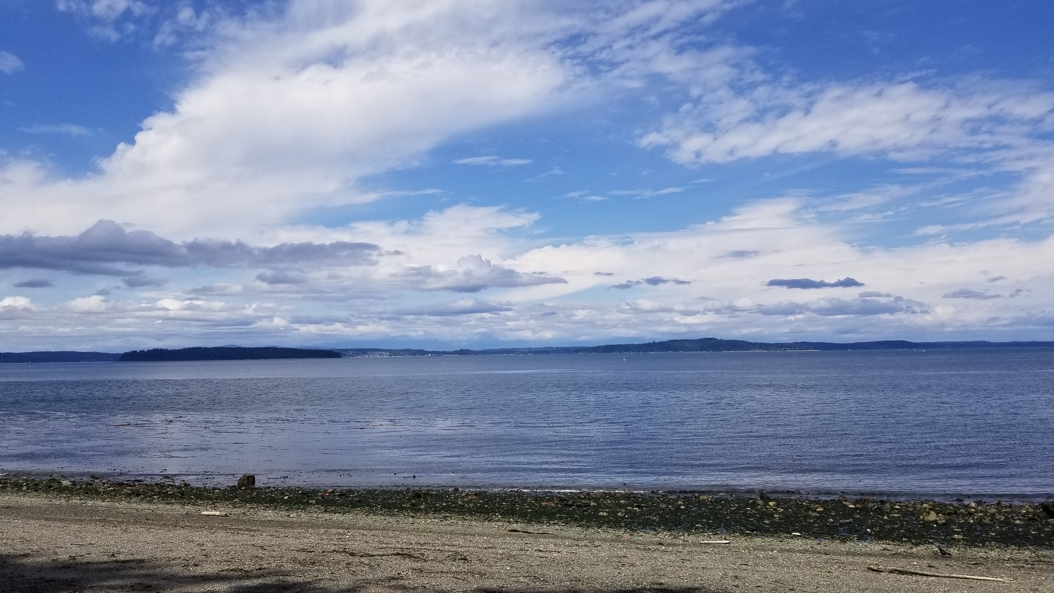
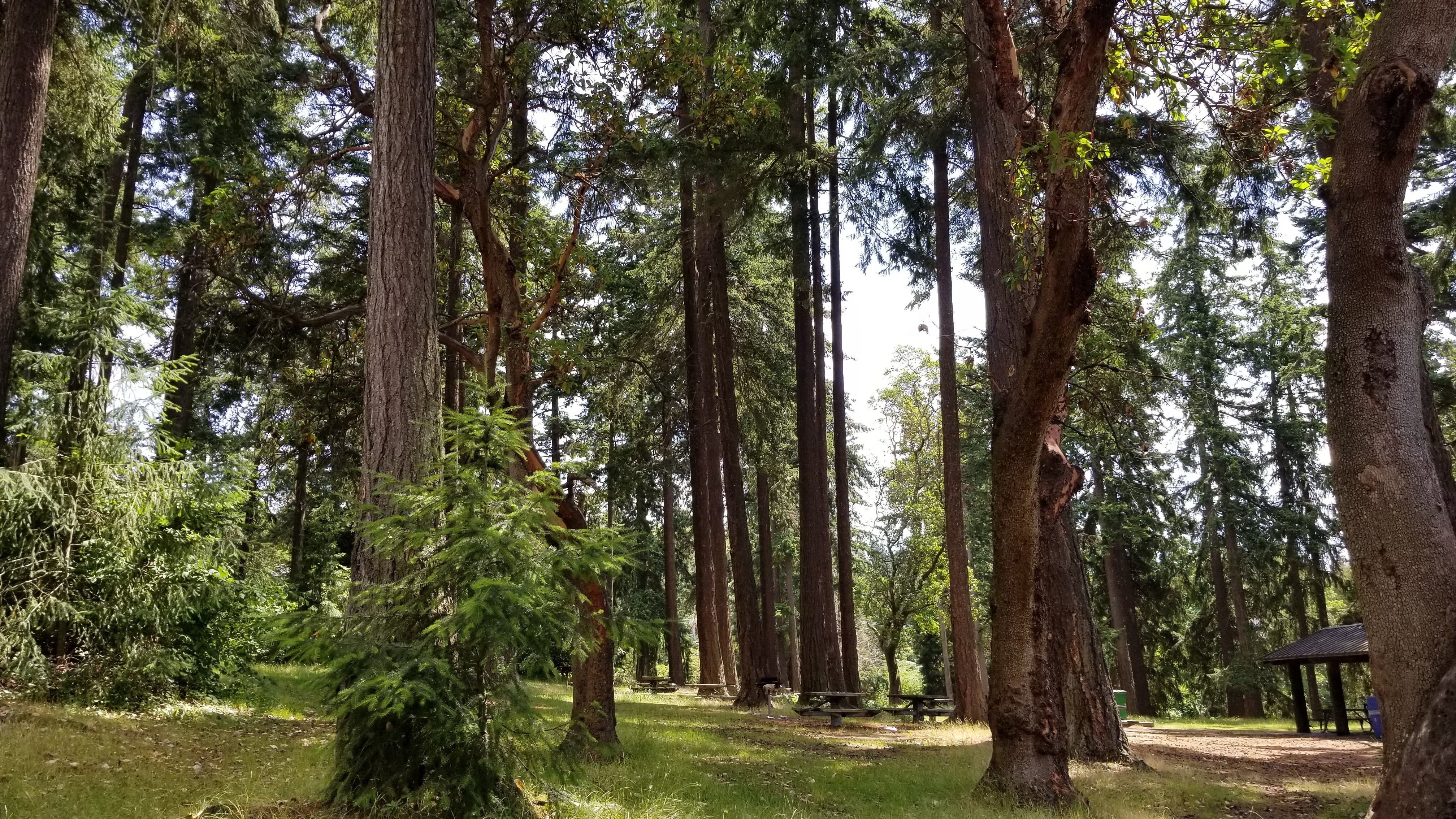
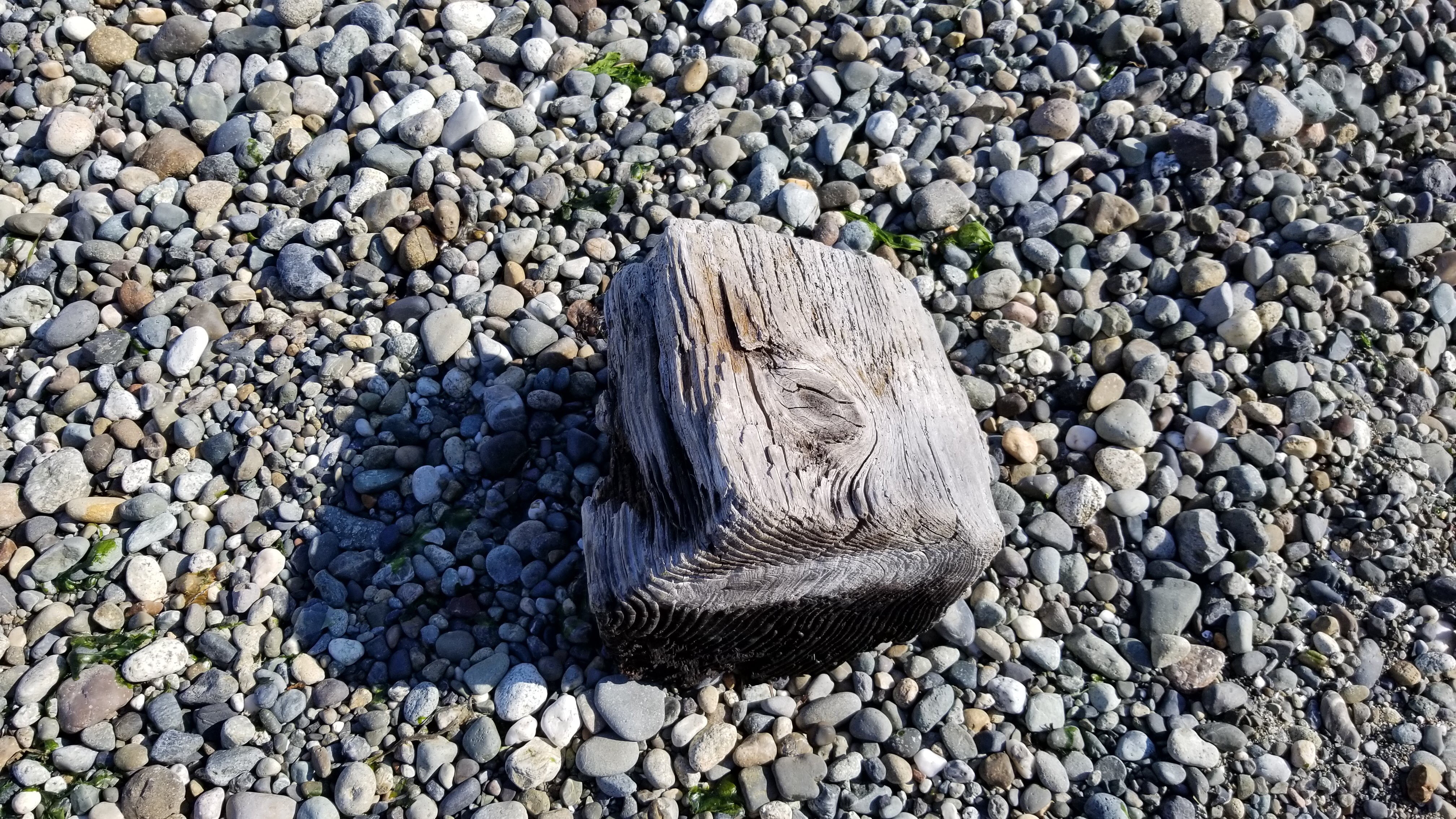
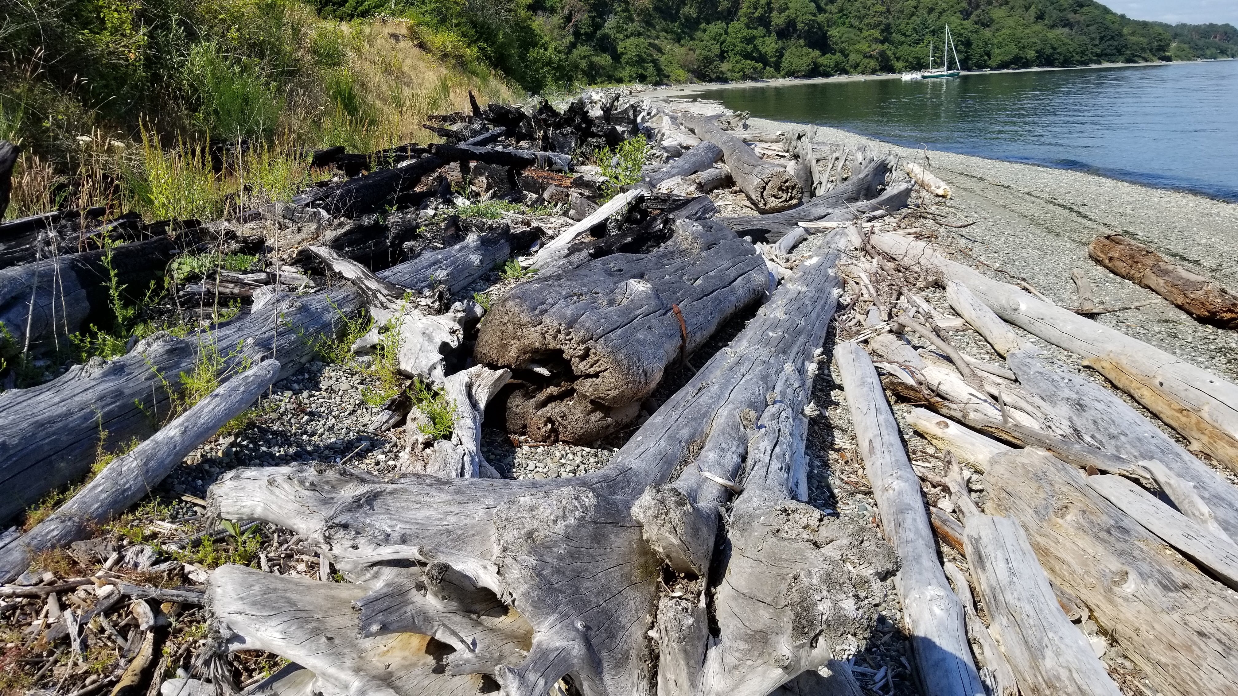
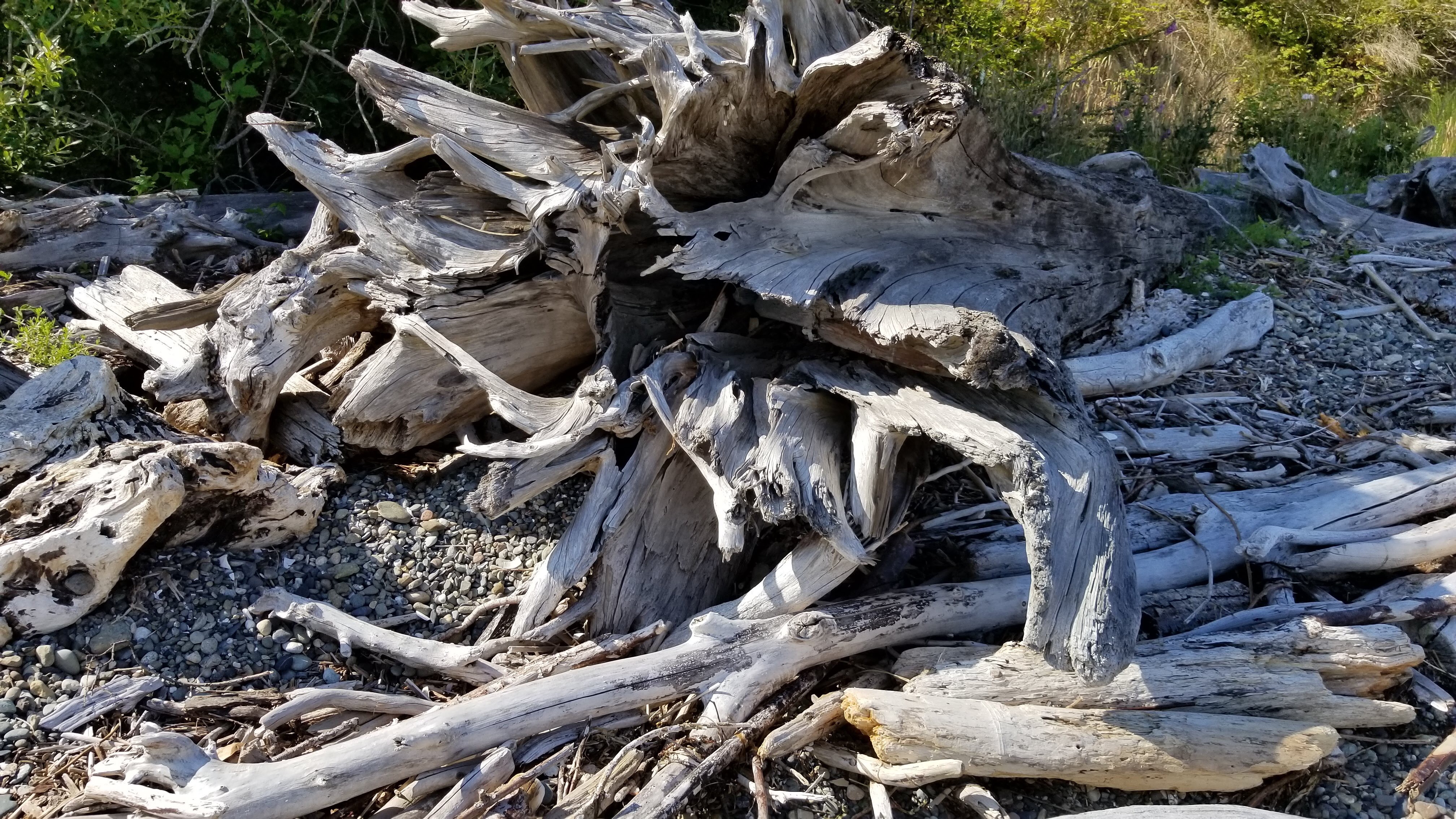
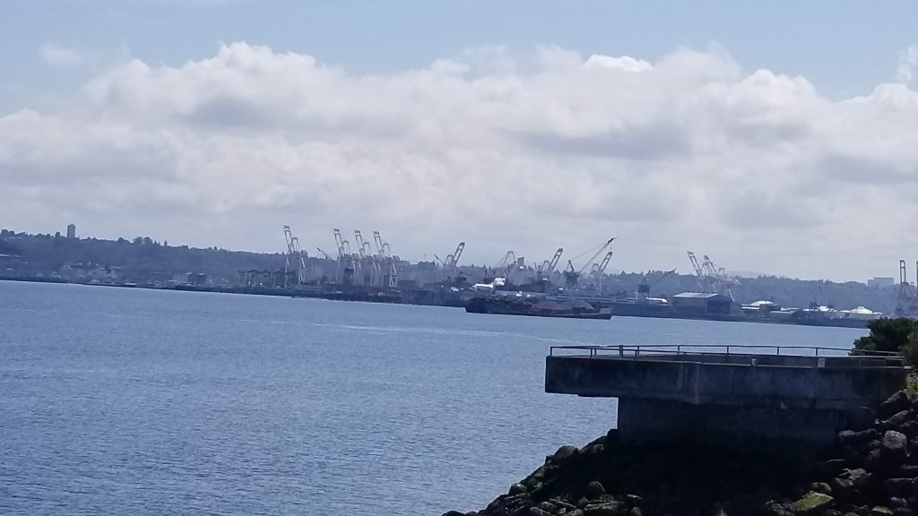
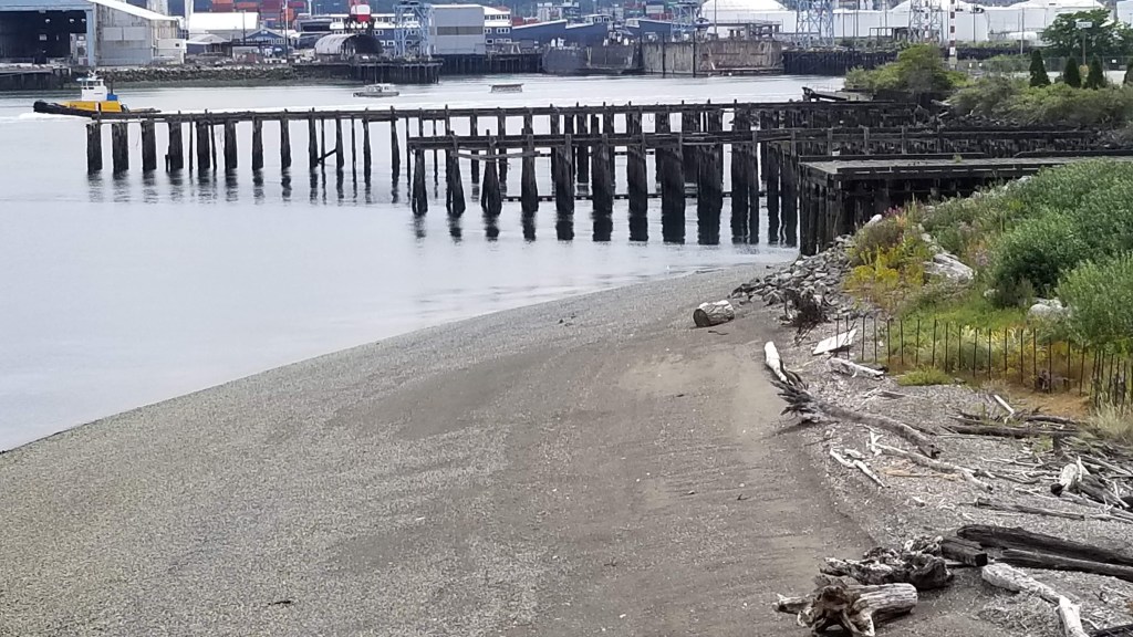
Newport Bay State Park is on the Lake Michigan side of the peninsula, near its tip. It is a long park stretching down the coast quite a way. The wind gets pretty fierce on this side, coming off the lake. Our hike started out on the leeward side of a point where the wind was not bad. We rounded the point and it was a different story. The rocks and beaches were magnificent. The forests are mostly cedar, hemlock, beech, and maple. The wind and waves made a lot of noise which diminished quickly when the path turned inland. The end of our path was a very long board walkway through a fern grotto, and was easy walking. The other parts of the path were rocky, lots of roots, and some fallen trees to step over. All in all, a nice adventure with a lot of variety.


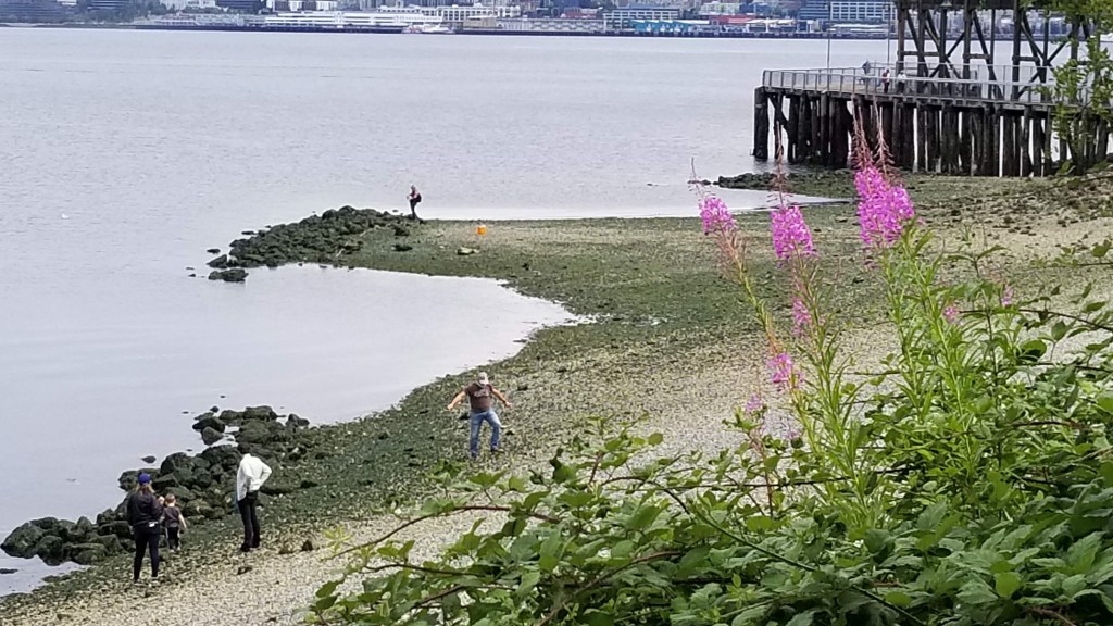
It was too early for lunch when we finished so we went further south to Caves County Park. This park is in the middle of Whitefish Dunes State Natural Area. The lake has worn away rock outcroppings into cavelike features along the shore, which are very interesting. From what locals say, it is almost always windy on this side of the peninsula. There are always waves. We took some selfies of our group, being careful not to step too close to the edge. It was a tiny bit scary, at least for me, because I have an imagination.
We went just a little farther to Whitefish Dunes to sit and have our lunch. It was windy but there was sun and it was pleasant. The beach here is suddenly wide and sandy, a marked change from the rocky bluffs.

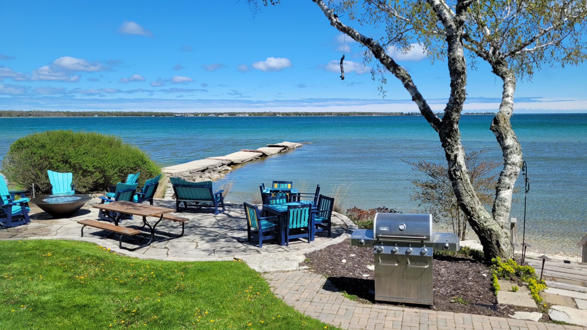
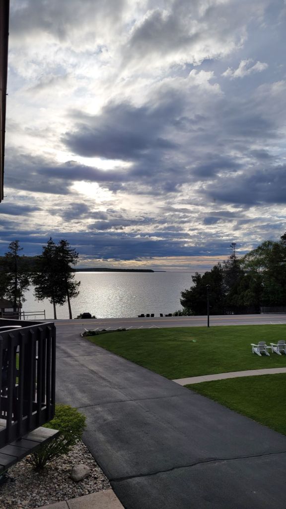
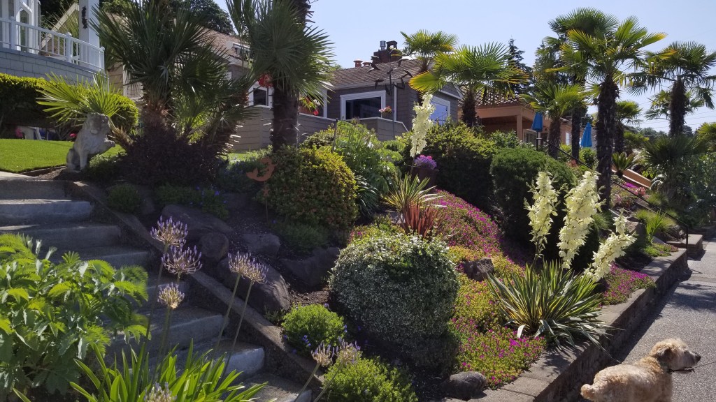
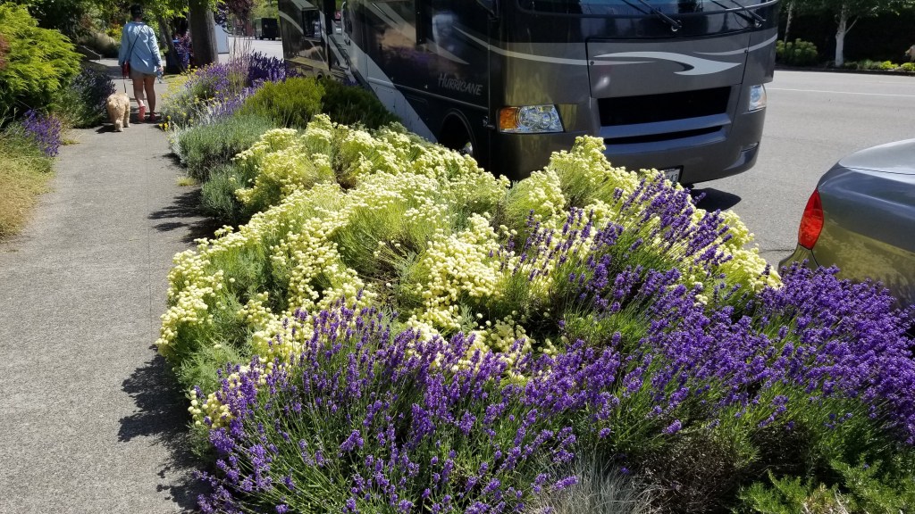
Tonight we are in Bailey’s Harbor at the Beachfront Inn. It truly does front right on to the beach. It is a quaint, older style of motel. The doors have real keys tagged with the room number. I was parked about three steps from our door. There are so many things on the peninsula that make it look like New England. The many cottages and Victorian houses have lush green lawns and flowers. There are boats in the harbors and gulls in the sky giving a definite nautical feel. Bailey’s Harbor is a little less choppy and there is a small breakwater that shelters our waterfront. For a few feet the water is almost still, which is something I haven’t seen all day.

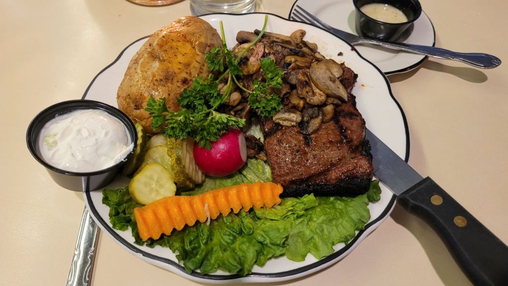
Our dinner destination is just across the road from our Inn. Chives, a fine dining restaurant, is said to be a “homey eatery with small, medium and large plates of upscale New American eats amid rustic-chic digs.” When did restaurants become eaterys? What is a New American eat? How do you upscale it? And what should I expect of a rustic-chic environment? I’m looking forward to learning a few things tonight. I would like to know who writes descriptions like this too.

We are hoping to come back to our “sleepery” after dinner and sit out by the gas fire pit. I hope the wind dies down a little so it isn’t so cold. The rocking chairs out there are rocking all by themselves.


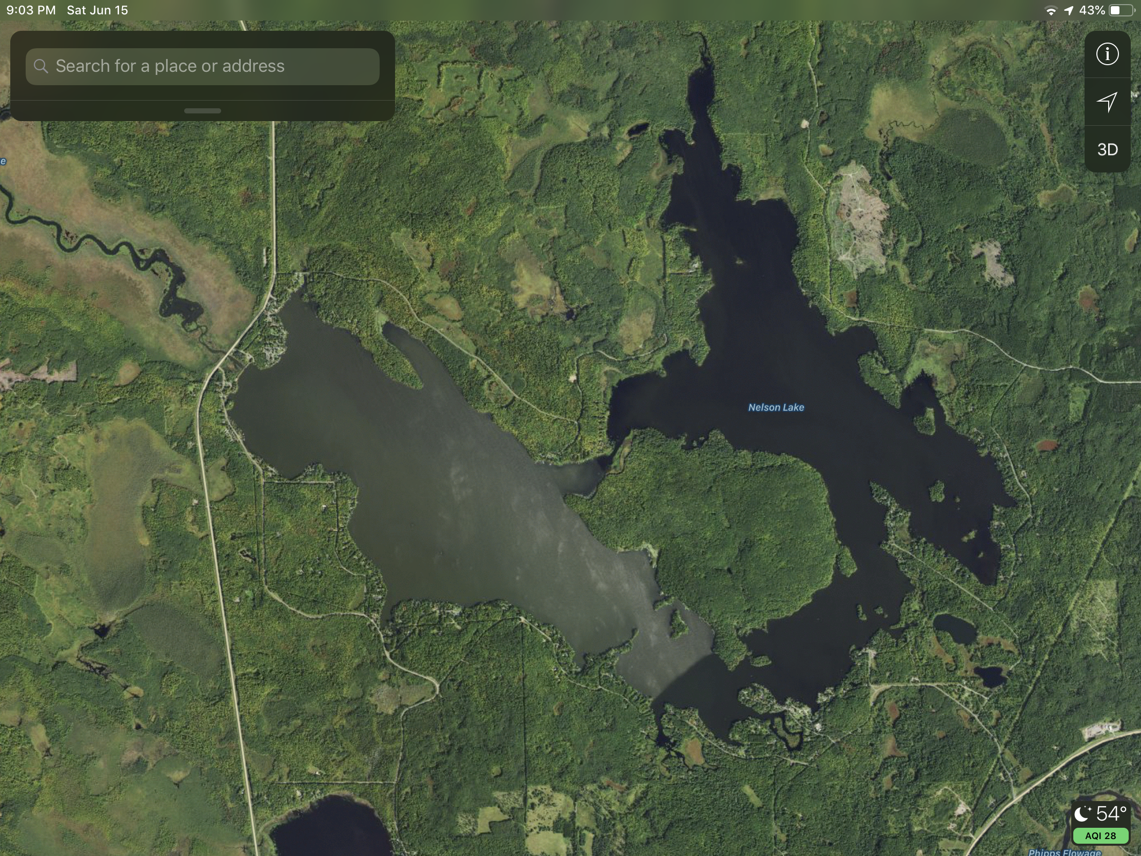 Nelson Lake has a large island in the middle. The dam is on the left side of the picture near where the highway jogs.